
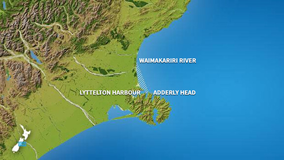
Christchurch
At
7°C
- Sunrise:
- Sunset:
Cloudy. Light winds.
Cloudy periods. Northeasterlies in the afternoon and evening.
Mostly cloudy, with the chance of a shower from morning. Easterlies developing in the morning.
For more detailed weather information visit MetService.
Marine Recreational Forecasts - Christchurch
Area Description:
Christchurch
Situation:
A ridge of high pressure builds over the South Island today, while a southerly flow affects the North Island. Tomorrow, the ridge extends over the rest of the country, and a southeast flow covers the North Island. On Tuesday a ridge of high pressure over New Zealand starts to weaken, while a front approaches from the Tasman Sea, bringing northeasterlies to the South Island. On Wednesday, the front moves onto the country. On Thursday, the front crosses New Zealand, with a northwest flow spreading over the country behind it. On Friday, a large trough of low pressure from over the Tasman Sea moves onto New Zealand.
Warnings:
Forecasts:
For Christchurch: Today: Variable 5 knots. Sea smooth. Cloudy.
Outlook:
For Christchurch: Monday: Variable 5 knots. Northeast 10 knots developing in the evening. Sea slight. Cloudy periods. Tuesday: Northeast 10 knots, easing to variable 5 knots in the morning. Northeast 15 knots developing in the afternoon. Partly cloudy. Wednesday: Northeast 15 knots. Showers developing. Thursday: Northeast 10 knots, easing to variable 5 knots early. Fine.
Swell:
Marine Coastal Forecasts - Conway
Forecast:
Sunday: Southerly 15 knots, easing to variable 10 knots in the afternoon. Sea slight. Long period southwest swell 2 metres, easing.
Outlook:
Outlook following 3 days: Monday: Variable 10 knots. Tuesday: Southeast 10 knots. Wednesday: Easterly 15 knots. Southeast swell becoming moderate.
Marine Coastal Forecasts - Rangitata
Forecast:
Sunday: Variable 10 knots. Sea slight. Long period southwest swell 2 metres, easing.
Outlook:
Outlook following 3 days: Monday: Variable 10 knots. Tuesday: Variable 10 knots, becoming northeast 15 knots later. Wednesday: Northeast 20 knots. Easterly swell becoming moderate.
Marine Coastal Forecasts - Chatham Islands
Forecast:
Sunday: Southerly 20 knots. Sea moderate. Long period southwest swell 3 metres, easing. Northerly swell 1 metre, easing. Fair visibility in a few showers, easing in the afternoon.
Outlook:
Outlook following 3 days: Monday: Southerly 25 knots. Sea rough. Moderate southwest swell. Tuesday: Southeast 30 knots. Sea rough. Moderate southerly swell. Wednesday: Southeast 25 knots, easing to easterly 15 knots late. Rough sea easing. Moderate southeast swell.