
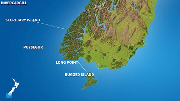
Invercargill
At
11°C
- Sunrise:
- Sunset:
Partly cloudy with a few showers, mainly this morning. Westerlies, fresh at times.
One or two morning showers, otherwise partly cloudy. Northwesterlies, easing in the evening.
Partly cloudy, with a few showers developing in the afternoon. Fresh easterlies developing in the morning.
For more detailed weather information visit MetService.
Marine Coastal Forecasts - Foveaux
Forecast:
Tuesday: Westerly 20 knots. Sea moderate. Long period southwest swell 4 metres. Northeast swell 1 metre easing. Fair visibility in showers, clearing afternoon.
Outlook:
Outlook following 3 days: Wednesday: Westerly 20 knots, easing to 10 knots in the evening. Moderate sea easing. Long period southwest swell 4 metres, easing inshore. Fair visibility in a few morning showers. Thursday: Variable 10 knots, becoming easterly 15 knots in the morning, rising to 25 knots in the afternoon. Sea becoming rough. Moderate southwest swell. Friday: Easterly 25 knots, easing to variable 10 knots early. Rough sea easing. Moderate southerly swell. Saturday: Variable 10 knots, becoming southerly 15 knots early. Turning westerly 10 knots late. Moderate southwest swell.
Marine Coastal Forecasts - Puysegur
Forecast:
Tuesday: Westerly 15 knots but 25 knots south of Puysegur Point. Easing to variable 10 knots in the north in the afternoon. Rough sea in the south, easing. Long period southwest swell 4 metres. Fair visibility in showers.
Outlook:
Outlook following 3 days: Wednesday: Northwest 10 knots but westerly 20 knots south of West Cape. Becoming variable 10 knots, but westerly 10 knots in the south in the afternoon. Moderate sea in the south easing. Long period southwest swell 4 metres, easing inshore. Northerly swell 1 metre developing. Fair visibility in a few showers. Thursday: Southeast 20 knots but southwest 20 knots south of West Cape. Rising to easterly 30 knots everywhere in the morning. Sea becoming rough. Heavy southwest swell easing. Northerly swell becoming moderate. Friday: Easterly 30 knots, becoming southeast 10 knots but southerly 20 knots north of West Cape early. Rough sea easing. Moderate southwest swell. Saturday: Southerly 10 knots but 20 knots north of West Cape, rising to 25 knots everywhere early. Sea becoming rough. Moderate southwest swell.