
Tauranga
At
10°C
- Sunrise:
- Sunset:
A few showers. Westerlies dying out this evening.
Fine, then a few showers from afternoon. Light winds, then southeasterlies developing at night.
Fine. Southerlies.
For more detailed weather information visit MetService.
Marine Recreational Forecasts - Tauranga
Area Description:
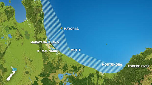
Bay of Plenty
Situation:
A Tsunami marine advisory is in effect for ALL marine coastal areas including Stewart Island and Chatham Islands. Please refer to https://www.civildefence.govt.nz/ for details and updates. Today, a deep low to the east of the country directs strong southerlies to the east of both islands and a front moves onto the lower South Island late evening. On Friday, a couple of weak fronts embedded in a southerly flow bring showers to mainly eastern parts of northern and central New Zealand, while a ridge of high pressure builds over the South Island from the Tasman Sea. Over the weekend, the ridge remains over the South Island, while east to southeast winds bring showers to eastern parts of the North Island. On Monday, the high shifts to the east of the country.
Warnings:
Forecasts:
For Bay of Plenty: Today: Westerly 10 knots. Sea slight. EXPECT STRONG AND UNUSUAL CURRENTS AND UNPREDICTABLE SURGES AT THE SHORE. Fine. Northerly swell 4 metres easing to 2.5 metres.
Outlook:
For Bay of Plenty: Thursday: Westerly 10 knots, easing to variable 5 knots early morning. Southeast 15 knots developing in the evening. Sea slight. EXPECT STRONG AND UNUSUAL CURRENTS AND UNPREDICTABLE SURGES AT THE SHORE. Cloudy periods, with fair visibility in a few evening showers. Northeast swell 2.5 metres easing to 2 metres. Friday: Southeast 15 knots. Fine. Northeast swell 2 metres easing. Saturday: Southerly 15 knots, easing to variable 5 knots early. Becoming southerly 10 knots late. Fine. Northeast swell 1 metre. Sunday: Southerly 10 knots, rising to southeast 20 knots for a time in the morning. Fine. Easterly swell 1 metre dying out.
Swell:
Marine Coastal Forecasts - Plenty
Forecast:
Wednesday: Westerly 15 knots. Sea slight. Expect strong and unusual currents and unpredictable surges at shore. Northeast swell 5 metres easing.
Outlook:
Outlook following 3 days: Thursday: Westerly 15 knots, easing to variable 10 knots in the afternoon. Sea slight. Expect strong and unusual currents and unpredictable surges at shore. Northeast swell 3 metres easing. Fair visibility in evening showers. Friday: Southeast 10 knots, rising to 20 knots in the morning. Moderate northeast swell. Saturday: Southerly 15 knots. Moderate easterly swell easing. Sunday: Southerly 15 knots, rising to southeast 25 knots early. Easing to southerly 15 knots inshore late. Sea becoming rough.